The Kaipara MoanaTe Moana o Kaipara

Ancient bastion of nature
E kore e mōnehunehu te pūmahara ki ngā whēinga o neherā nā rātou nei i toro te nukuroa o Te Moana-nui-ā-Kiwa o Te Moana Tāpokopoko ā Tāwhaki me Papahoro-nuku. Ko a rātou tapuwae kua kākahutia ki te kiri o Papa-tū-ā-nuku e hora nei – Kaipara Moana he tawhiti tōna roa, he manatunga, he taonga, he tapu … he ngaru nui mā te tauihu o te waka e wawāhi.
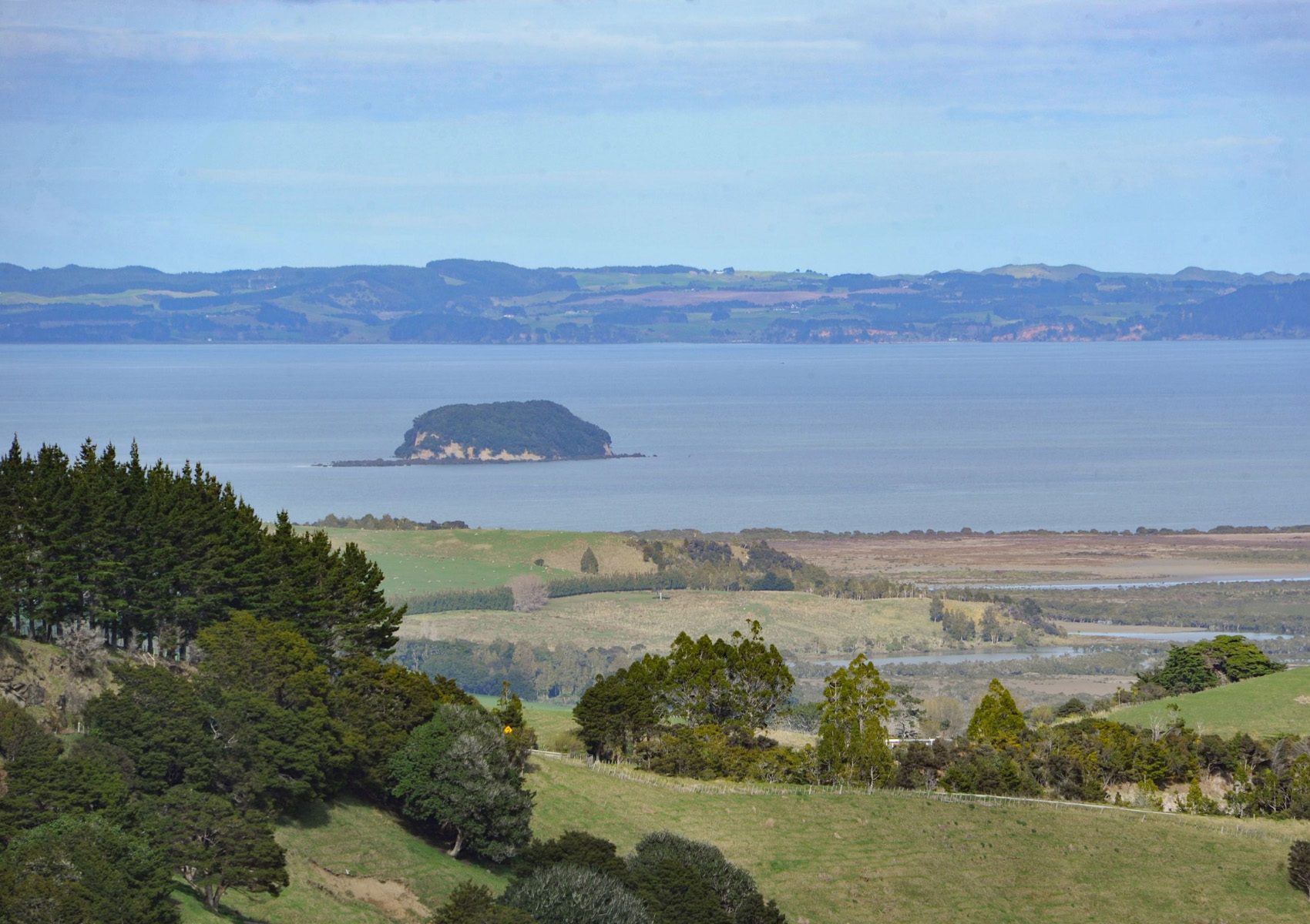
Kaipara Moana is an ancient bastion of nature, alive with the history of days, of eras past. It is a place of deep spiritual and cultural value, a space with its own mauri and identity imbued with a mana of its own. As the largest natural harbour in the Southern Hemisphere, it is also a place of global significance.
The harbour
The Kaipara Harbour has a rich history dating back to pre-European times, when local Māori used the harbour for fishing, transportation, and as a trading hub. The harbour was first encountered by Europeans in the late 18th century.
In the 19th century, the Kaipara Harbour became an important centre for the shipment of kauri timber, which was harvested from the surrounding forests and exported to Australia and other parts of the world.
Today, the Kaipara Moana is used by many New Zealanders for recreation, fishing and food gathering. It also has a unique economic value that is nationally important – 98% of the North Island west coast snapper hatches in the Kaipara ‘nursery’. Snapper is NZ’s top commercial inshore fisheries catch, creating annual export revenue of ~$35 million, and contributing an estimated $69m to the economy and 579 jobs each year. But sediment losses from the land have put the snapper fishery at risk.

The context for KMR
Decades of deforestation and land-use intensification have degraded the catchment. Today, less than 10% of original native forest and 5% of wetlands remain, leading to a seven-fold increase in average annual soil erosion and associated sediment washing into the Moana (an estimated 700,000 tonnes a year). One eighth of the catchment is highly erodible land.
Sediment is the critical contaminant in the Kaipara Moana catchment: it can carry harmful nutrients, pathogens affecting human health, and heavy metals. In high concentrations, such contaminants can make people and animals unwell and water quality unsuitable for swimming, drinking or mahinga kai (food gathering). The significant impacts of sedimentation on the Kaipara Moana are well-documented, with studies showing that valued species and habitats are smothered, leading to ecological losses.
The historic 9 October 2020 signing of the Kaipara Moana Remediation Memorandum of Understanding between the Ministry for the Environment, Ngā Maunga Whakahii o Kaipara, Te Rūnanga o Ngāti Whātua, Te Uri o Hau, Northland Regional Council and Auckland Council was a joint commitment by the Crown, Kaipara Uri and Regional Councils to protect, restore and enhance the mauri of Kaipara Moana.
Together, we're making good progressE anga mua ana ā tātou mahi ngātahi
To date, KMR has delivered the following results on the ground:
Nature & Resilience
0m
plants in the ground or contracted to plant this winter
0ha
planted or contracted, or regenerating into native forest
> 0km
of fencing completed or contracted – the distance from Cape Rēinga to Wellington!
0ha
managed under KMR plans
The catchment
The Kaipara Moana catchment covers 6,000km across both Northland and Auckland, and includes over 3,700km2 of pastoral land and over 800km² prone to erosion. The catchment includes seven major river systems.
KMR supports projects from the headwaters of each river through to the shores of the Kaipara Moana itself. This recognises that it does not matter where the projects take place – the benefits of a healthy, thriving Moana are shared by all.
The catchment extends from close to Helena Bay in the north-east of Northland to the Waipoua Forest in the north-west, from the Poutō peninsula to the Whangaripo valley and almost to Warkworth, and in Auckland south-west from Taupaki, Kumeū and Helensville through to South Head.